Worldwide Sites
You have been detected as being from . Where applicable, you can see country-specific product information, offers, and pricing.
Keyboard ALT + g to toggle grid overlay
Bridging location intelligence & design (2:21 min)
Autodesk & Esri changing the way project teams work
Together, we’re delivering solutions the bring together BIM & GIS. Unlocking opportunities and innovations that enable you to plan, design, build, and operate better.
What are the benefits of integrating BIM & GIS?
- Advance the understanding of projects in context of its location and the broader natural environment.
- Enable collaborative workflows that minimizes data loss and reduces inefficiencies.
- Make more informed decisions to accelerate project delivery and improve the operations and maintenance of completed assets.
BIM & GIS Workflows: There Must Be a Better Way (2:08 min)
Engineers and GIS teams can work better together
- Putting data at the center
- Removing silos
- Connecting workflows
Customer insights
Customer name
Cardno
Global Technical Services Manager Blair Cheyne talks about Cardno’s experience with bringing together BIM and GIS.
Customer name
OBG
Hear firsthand from OBG Senior Technical Applications Manager Chuck Pietra about how OBG uses BIM and GIS together to improve their project outcomes.
See BIM & GIS in action
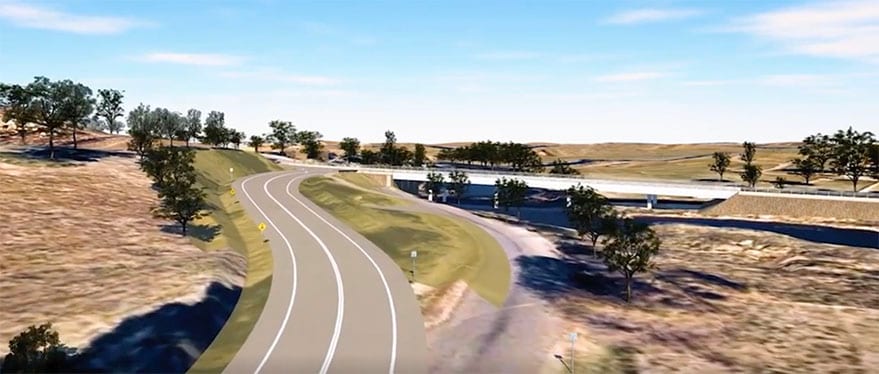
The Autodesk Connector for ArcGIS maintains a live connection between InfraWorks and Civil 3D, and ArcGIS.
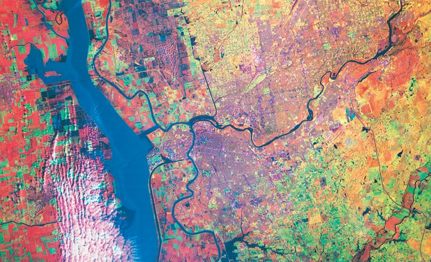
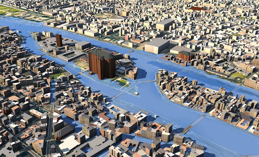
GIS Informs BIM
Powerful location technology from Esri enriches design data, enhancing understanding of assets in relation to what’s built and the context of broader environmental factors.
Autodesk software for infrastructure

One essential set of BIM tools for building, design, infrastructure, and construction.

Geospatial and engineering BIM software for planning, design, and analysis.

Civil engineering design and construction documentation.

BIM tools that support infrastructure design and engineering.

Reality capture and 3D scanning software and services.
Useful links
-
Infrastructure Reimagined blog