Worldwide Sites
You have been detected as being from . Where applicable, you can see country-specific product information, offers, and pricing.
Keyboard ALT + g to toggle grid overlay
Addressing global challenges, together
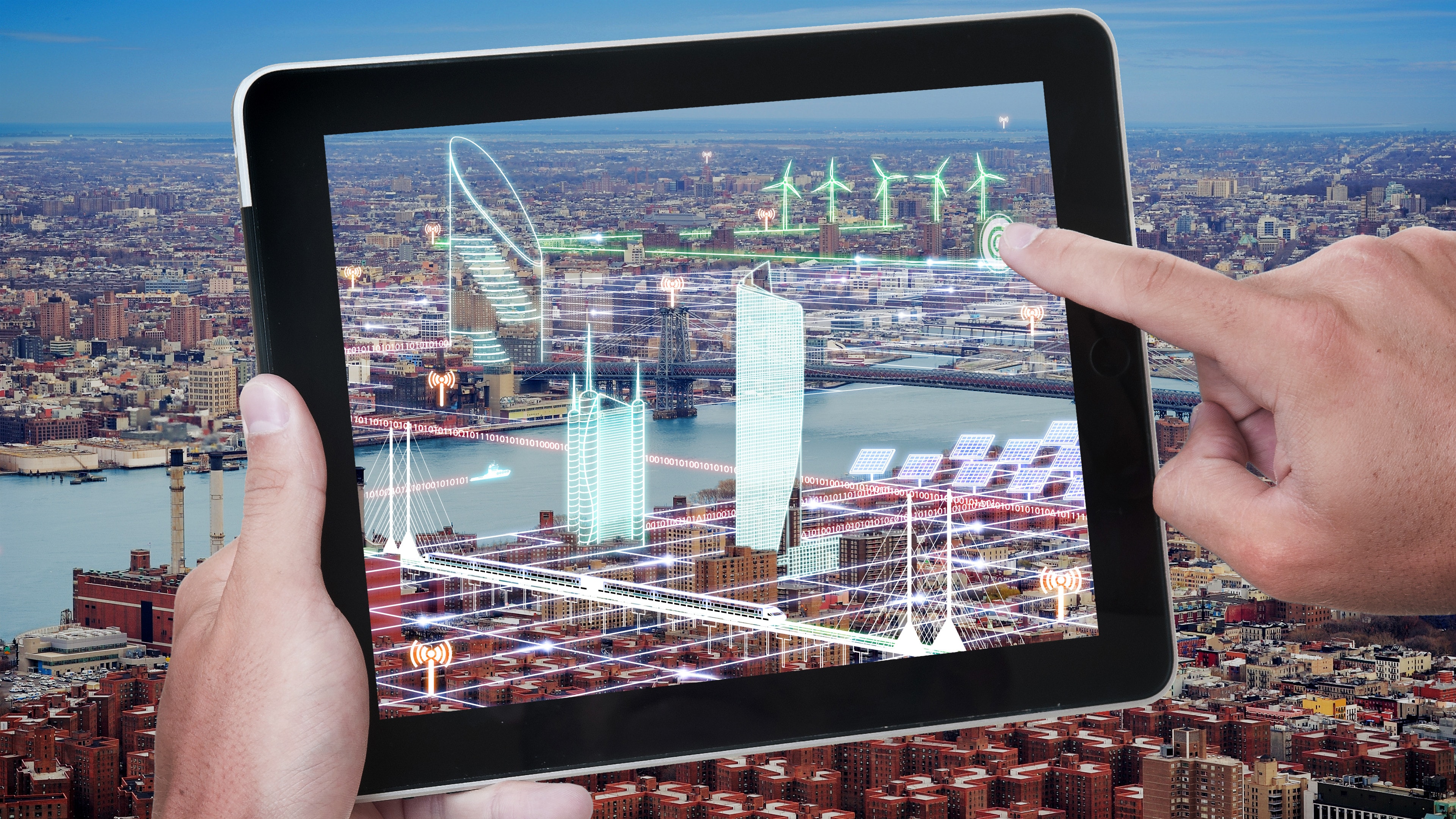
Autodesk and Esri are joining forces to put GIS and BIM data at the center of projects. Our shared vision is an integrated and collaborative workflow that removes silos and improves understanding of projects in context, reduces inefficiencies, and delivers more sustainable and resilient infrastructure.
Building the bridge between GIS and BIM will change the way we plan, design, and build our future.
“ Partnering with Esri is intended to combine the power of BIM and GIS mapping which will enable our shared customers to build anything, anywhere. Our goals are to provide industry and city planners the ability to design in the context of the real world. This will allow communities to build more connected, resilient cities, and infrastructure with a focused eye on sustainability.”
Andrew Anagnost, CEO, Autodesk


“It is important to consider the needs of future generations during the design and building of projects today. The benefits of our collaboration with Autodesk will include securing sustainable resources for the growing population, a responsible human footprint on our natural environment, better use of our planet’s resources and more resilient cities.”
Jack Dangermond, President, Esri
Connected Workflows
Autodesk's Building Information Modeling, cloud computing, and analytics tools connect people, processes, and ideas, changing how infrastructure is planned, designed, built and managed.
Pioneering The Science of Where
Esri builds the most powerful mapping and spatial analytics software to connect everyone, everywhere through a common visual language and reveal deeper insight into data.